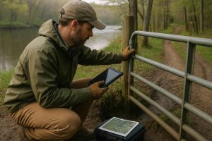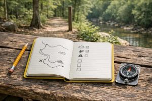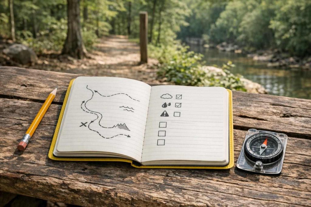
Tracked hunting ground property is far easier to use when the state of the property has been recorded. New members need to be given far more information than a scratched line on a map. They need to be informed of which routes are open, what has happened recently, where members can park their vehicles and what they should be aware of in terms of possible damage to the habitat. Such records can only be of benefit to members and owners reporting problems with the property.
Record what a new member must know first
This information needs to be recorded prior to a new member's visit. Ideally each of these observations should detail what route or feature has been observed, what its current state is, when it was observed and who observed it and what action, if any, is needed. Thus "North gate repaired" is less useful than "North gate latch has been replaced. It now closes fully. Be aware that the approach to the gate needs to be kept clear in case of an emergency."
Use the same name for locations as you would on signs, on maps distributed to the property and as used in conversation among members. Where two routes are known by different names, record the officially chosen term and note the alternatives. This helps to ensure that different terms do not be used to propagate errors.
A basic record can include:
– route or area name;
– date checked and person who checked it;
– access condition (e.g. open, soft, blocked or restricted);
– work completed or still needed;
– habitat or safety concern;
– photo reference, if photographs are used; and
– next review point.
By making your notes brief and consistent you are likely to find them more useful than creating a long report which is never updated.
Make maps useful on the ground
Maps provided for new members to familiarize themselves with should serve to highlight the main routes of access as well as locations of approved club parking areas and staging areas. Other features such as gates, crossings, club maintenance areas as well as restricted or even off-limits areas to club members should also be clearly marked. An undated map looks current for far too long and should be clearly dated.
It is also essential to keep the map and log connected. Thus, for example, a route marked "C-3" on the map should be referred to using the same code in the relevant maintenance record. Warning notes, for example, regarding a seasonal crossing point or a single-lane track that can be used by particular vehicles, should also be positioned near the relevant route on the map and included in the written log.
A digital map does not solve all of these problems. A printable version of a trail map may be provided for new members, or even just a simple offline file, with a clear indication of which is current. Members must also know how to report any discrepancy found between the printed/map and the ground.
Track condition, not just completed work
More importantly, note changes in access as well as new work completed. A log of completed maintenance is of little use – are there still any blocked ways? Are there any downed trees? Are any gates or signs damaged?
Use observations that another person can verify. Rather than say "the road is bad" say "there is standing water near the bend of this route; after last week's rain the surface is soft; go to inspect before using on this route". Note that it doesn't have to be written in a very formal engineering style – just something that others will understand.
Photographs need to be accompanied by observations (above) and include a reference to the route label, a description of the view shown, and the location in relation to other landmarks. A single photograph, even if it indicates that work has been done to clear a blockage, does not in itself confirm that the area is still safe.
A gate on a track can be open for physical reasons like work in progress, for land management reasons or even safety reasons. A member should always check the latest information from the club regarding the status of access routes.
Separate habitat work from access work
Trail upkeep and new trail creation are two very different things. While trail upkeep on established club routes might consist of clearing occasional fallen branches, on many of our properties repeatedly using the same trails in vehicles can widen trails and cause deterioration of soil and drainage. Club members need to know if a particular section of trail has been created or cleared for their use and what its intended purpose is.
Distinguishing between maintenance to clear an obstruction to an existing trail and maintenance to create a new spur or branch off from an existing trail and understanding the different requirements for these types of work (e.g. reviewing for impact to habitat, property boundaries, erosion, access agreements etc.) and referring to current official guidance as well as the club's governing documents is crucial.
Record the habitat work that affects trail use. Keep these notes with the corresponding access records so that new members reading through will know why a closed section was closed, why a certain route is only for maintenance personnel, why a stream crossing has not been widened and therefore must not be by trail users, etc. Even better, include these notes as short explanations to the related maintenance records as well.
Build a handoff that members will actually read
New members should be given a set of currently relevant documents. This could include a copy of the latest trail map and a short document which outlines access to the property for new members. Also included should be an emergency contact list and a copy of the current maintenance log which highlights any currently outstanding issues. A one page document could be created as a 'quick reference' for new members and club members should be able to locate a full copy of the records.
Use consistent visual cues and where appropriate add words and/or symbols to ensure that the information can be read by members with limited vision. Ensure that color is not used as the sole means of identification and that information can be read in black and white.
Let new members know that you expect them to understand a few basic principles of using trails on your property. These are not necessarily related to hunting. Specifically, members need to have a good understanding of how to report a closed route and how members and others will be expected to treat restricted areas. Take time to explain these simple concepts to your new members in order to avoid confusion down the road.
Set a review routine and a reporting standard
Assign someone to be the club's maintenance record 'editor'. Although that person will be responsible for reviewing any new maintenance-related observations added by others and updating the relevant part of the record, he or she must also allow others to add in any observations they think necessary, relating to new hazards for example.
The issue can be prioritized using a few simple words: Urgent, Medium Term, Long Term. New hazards must always be dealt with by the appropriate person. Immediate safety issues need to be referred to the relevant people using the clubs' emergency procedures which refer to the relevant official safety guidance for that situation (e.g. an injury, a fire, severe weather etc.).
Review your system and trail information following major events, as well as during regular club checkups. Obsolete information should be deleted and out-of-date maps archived while the date of revision to information is noted and preserved.
Responsible participation of members includes honest reporting of conditions. Invariably members would move a sign, close off a trail for the season, create a shortcut or work in a way that is not approved and then fail to update the records. Accurate documentation supports quality decision making only when the documentation accurately reflects what is happening on the grounds.